
Fun personal projects for learning Geo Spatial And Asset Managment Principles
with a few lines of code you can start to create a canvas for analysis
Using python we can use GeoPandas to do analaysis on Map Data in variouse differnent formats, GeoJson, Json, Link to Google Map Api
and Voila!
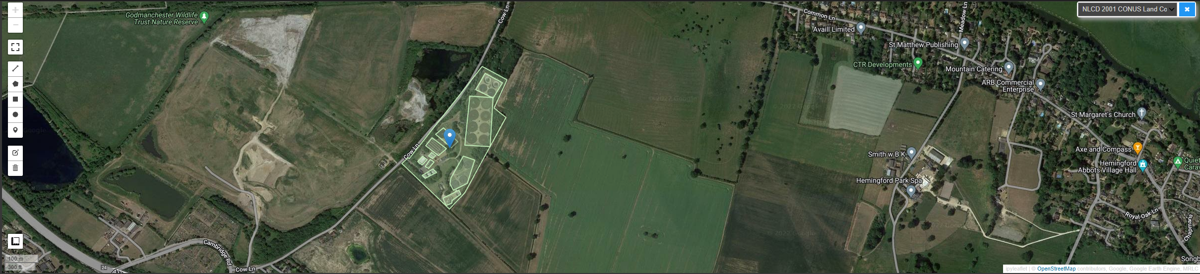
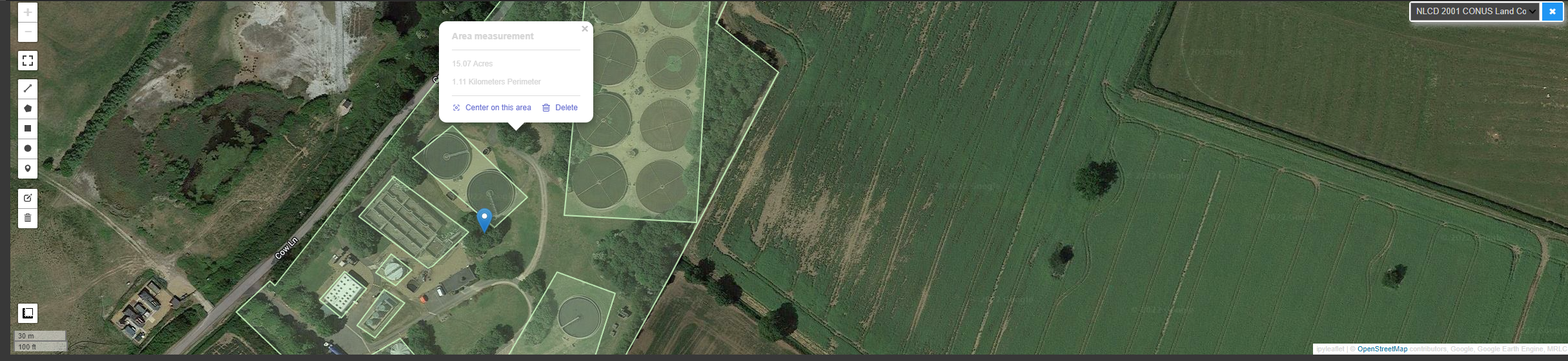
I used Various Tools, to outline various pieces of equipment, and used a tool to find the area of the site and also the distance between to processes, i have started looking at water flow and layering this on top of this data. (stay tuned)
A link to my notebook, hope you have enjoy your journey on visualising geo spactial data with an interactive approach