This is a repository for my USRA term project on 3D reconstruction and semantic mapping.
The goal of the project was to implement an egocentric mapping working on AI Habitat, the interactive 3D simulation for training robots/agents on a virtual 3D setting. While the virtual 3D setting provides advantages on training (in the way that the robot never breaks by falling off the stairs, or that agents can move a thousand step per second), using a virtual simulator involves its own challenges such as the use of large 3D data, or, even configuring the projects. In fact, working with the configuration was where most of the struggle was on this project, as an undergraduate student with little experience.
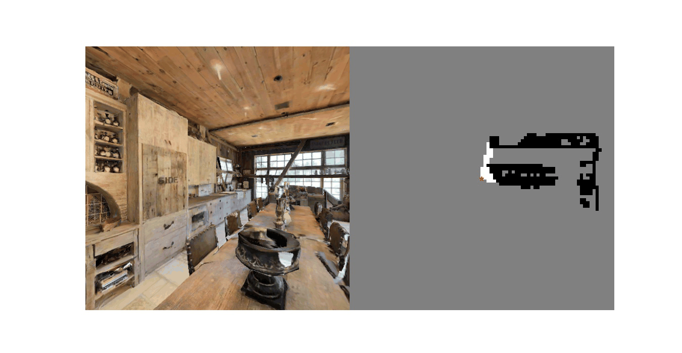
This repository successfully runs with the ground truth semantic segmentation marked on the top-down 2D map. Although the intention was to extend the project to semantic segmentation on 3D simulation, I decided to pursue a career outside of machine learning while working on the project.
This project was done without knowledge of cutting-edge 3D reconstruction techniques. The agent location is always known within the simulation, and the depth sensor is assumed to be error-free.
I was almost new to Python when I was working on this project.
Setup
- Conda setup: https://github.com/facebookresearch/habitat-sim#preparing-conda-env
- Installing habitat: https://github.com/facebookresearch/habitat-sim#conda-install-habitat-sim
Data
- Download test data: https://github.com/facebookresearch/habitat-sim#testing
- Or use any test scenes.
- Download path should match example_agent.py:
# Specifying scene path
backend_cfg.scene_id = (
  "data/mp3d/EU6Fwq7SyZv/EU6Fwq7SyZv.glb"
)
Or this path in example_agent.py should be modified to match the actual data path.
$ python3 example_agent.py
No argument required.
SEM.SemMap(
  cell_dim_meters: np.ndarray = np.ndarray([0.2, 0.2, 0.2]),
  initial_map_size: np.ndarray = np.ndarray([50, 50, 15]),
  toggle_resize_map : bool = True
)
Initializes the Semantic map agent object.
Parameters
- [Optional]
cell_dim_meters: Cell widths of each grids (meters). Default: [0.2,0.2,0.2] - [Optional]
initial_map_size: Initial map size in number of cells for each dimension. Default: [50,10,15] - [Optional]
toggle_resize_map: Whether to resize map when needed. Default: True- If True, the map is resized when any observation occurs outside of map.
- If False, observations outside of map will be ignored.
SemMap.integrate_frame(
  depth: np.ndarray,
  semantic: np.ndarray,
  resolution: np.ndarray,
  position: np.ndarray,
  quat: np.ndarray,
  hfov: int = 90,
)
Calling integrate_frame() for observation frames will add information to the map.
Parameters
depth: Depth frame obtained from a depth sensor.semantic: Semantic segmentation obtained from a semantic sensor.position: Position of the camera.resolution: Resolution of the frames. This has to be same for both depth and semantic frames.quat: Rotation of the camera.hfov: Field of view. Default: 90
SemMap.get_gridmap()Returns
grid_map: np.ndarray (3d)- Each entry in 3d array is an integer code representing the location on the grid map.
- 0: Unobserved
- 1: Empty
- 2: Not empty (This will later be replaced with semantic segmentation code)
cell_dim_meters: Cell widths of each grids (meters)top_left_above: Coordinate of the top-left-above end (first cell) of the map.bottom-right_below: Coordinate of the bottom-right-below end (last cell) of the map.
SemMap.display_topdown(
  height_min: int,
  height_max: int,
)
Displays a top-down map for the specified height range. Each grid will be included in the top-down map only if the center of the grid is within the height range.
Parameters
height_min: int, minimum height to displayheight_max: int, maximum height to display
SemMap.save_topdown(
  height_min: int,
  height_max: int,
  filename: string
)
Saves a top-down map for the specified height range as an image file. Each grid will be included in the top-down map only if the center of the grid is within the height range.
Parameters
height_min: int, minimum height to displayheight_max: int, maximum height to displayfilename: String, name of the file. Has to be unique for each call.
SemMap.save_video(
  filename: string
)
Generates a video of saved topdown maps.
Parameters
filename: String, name of the file
- Display for 3D map is currently not implemented for performance reasons.
- Currently there is no error handling for 3D reconstruction. Instead, SemMap assumes all the depth frames are correct.
- Error correction for semantic segmentation is not implemented yet, but will be implemented in the future.
slam.py, depth_utils.py, fmm_planner.py, rotation_utils.py are from Map plan baseline - https://github.com/s-gupta/map-plan-baseline with small modificaitons on slam.py
depth_agent.py is from https://github.com/facebookresearch/habitat-sim/blob/main/examples/tutorials/stereo_agent.py, with modifications.