




Harbinger is a series of CV tools/pipelines currently developed by Special Research Groups (SRGs) within CRD, capable of scraping adversarial, noisy sources, and restructuring them into clean, georeferenced vector geometries with text. Unlike other toolkits, Harbinger does not care if sources come with metadata, are highly compressed, or are very noisy.
These features are intended for final use in Naissance HGIS. As an end-to-end pipeline, Harbinger is intended for creating geographic datasets from raster/vector sources, which future spatial AI models inside Confoederatio can train on.
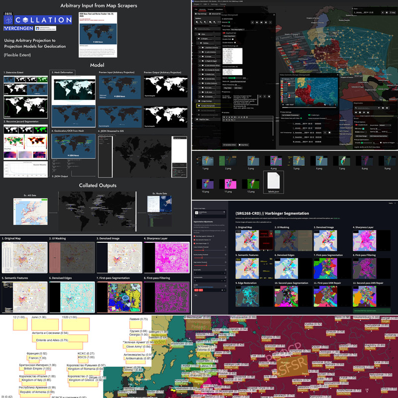
Current tools included as part of Harbinger/Naissance HGIS:
- Harbinger.Deprojector: Converts any arbitrary source image into an arbitrary projection, without knowing what projection the source input is in.
- Harbinger.Segmentation: Segmentation model for symbolic/noisy maps, satellite imagery. Also capable of rapid segmentation for real-world images and footage. Performs OCR for semantic feature matching.
- Harbinger.Geowarp: Part of Naissance HGIS. Provides 4D warping and time sync capabilities for video and image sources, as well as real-time georeferencing and manual adjustment.
Scraping tools and APIs are currently located within Vercengen. Most tools are written in either Python/Node.js. See individual sub-repositories' READMEs for more information on any CLI contracts/GUIs provided.